
The drainage plan of a house is almost never included in the sales file provided by the notary. The documents transmitted during a transaction are limited to the sanitation diagnosis and, sometimes, the municipal zoning, which only indicates whether the parcel falls under collective or non-collective systems. To find the actual layout of the buried networks under your land, you need to contact the right parties and, in some cases, resort to a land survey.
DT-DICT Procedure and Single Window: the Regulatory Reflex Before Any Excavation
Any intervention involving digging, even on private land, may trigger a prior declaration obligation via the single window for networks. The DT-DICT procedure (Declaration of Work Project – Declaration of Intent to Start Work) is not only for construction companies. An individual digging near a public network (drinking water, gas, electricity, telecommunications, sanitation) must consult this window and make the required declarations.
The exception applies to networks owned by the property owner, located within a fenced property. Outside of this case, ignoring the DT-DICT exposes one to penalties and, especially, to the risk of damaging pressurized pipes or high-voltage cables.
We recommend systematically consulting this before any installation of fences, swimming pools, raised terraces, or even planting deep-rooted trees. The single window provides the contact details of each concerned operator, who then supplies their network plans. These plans cover the public part and the connection up to the point of entry into the parcel, rarely beyond.
To go further on the research methods specific to your home, you can consult La Bonne Maison online to cross-reference this data with other documentary sources.

PCRS and Georeferencing: What the New Plan Funds Change for Individuals
The PCRS plan fund (Simplified Street Body Plan) is now a regulatory reference support for network mapping. The technical guide for anti-damage regulations was updated in its version 3 on July 1, 2024. The use of the PCRS is planned as soon as it exists in the area, with a general deadline set for January 1, 2026, for network operators.
This reference improves the accuracy of georeferenced plans in class A (maximum uncertainty of 40 cm in planimetry). However, the private connection of a house is generally not included. The PCRS covers networks operated by concessionaires, not the internal pipes within the parcel. The section between the connection chamber and your sanitary appliances remains a documentary blind spot.
This distinction is crucial: the plan retrieved via the single window indicates where the public network arrives at the property line, but not how it distributes under your slab or in your garden.
Municipal Zoning and Sanitation Diagnosis: Two Documents That Do Not Replace a Plan
The municipal sanitation zoning, available at the town hall or on your intercommunal website, classifies your parcel as belonging to either collective or non-collective sanitation. This is an urban planning data point, not a technical plan. No drainage layout appears there.
The sanitation diagnosis (mandatory upon sale) checks the compliance of the installation but does not produce exploitable mapping either. The SPANC (Public Service of Non-Collective Sanitation) inspector notes the state of the structures, their accessibility, and the separation of wastewater/stormwater. Their report sometimes mentions the approximate location of the tank or main chamber, without measurements or georeferencing.
- The municipal zoning indicates the type of sanitation applicable to your parcel, not the layout of the pipes.
- The sanitation diagnosis assesses the compliance of the existing installation without producing a detailed survey.
- The original building permit may contain a site plan with the planned networks, but subsequent modifications are never included.
- Old plans from the developer, when they still exist, are archived at the town hall or with the surveyor who conducted the initial boundary marking.
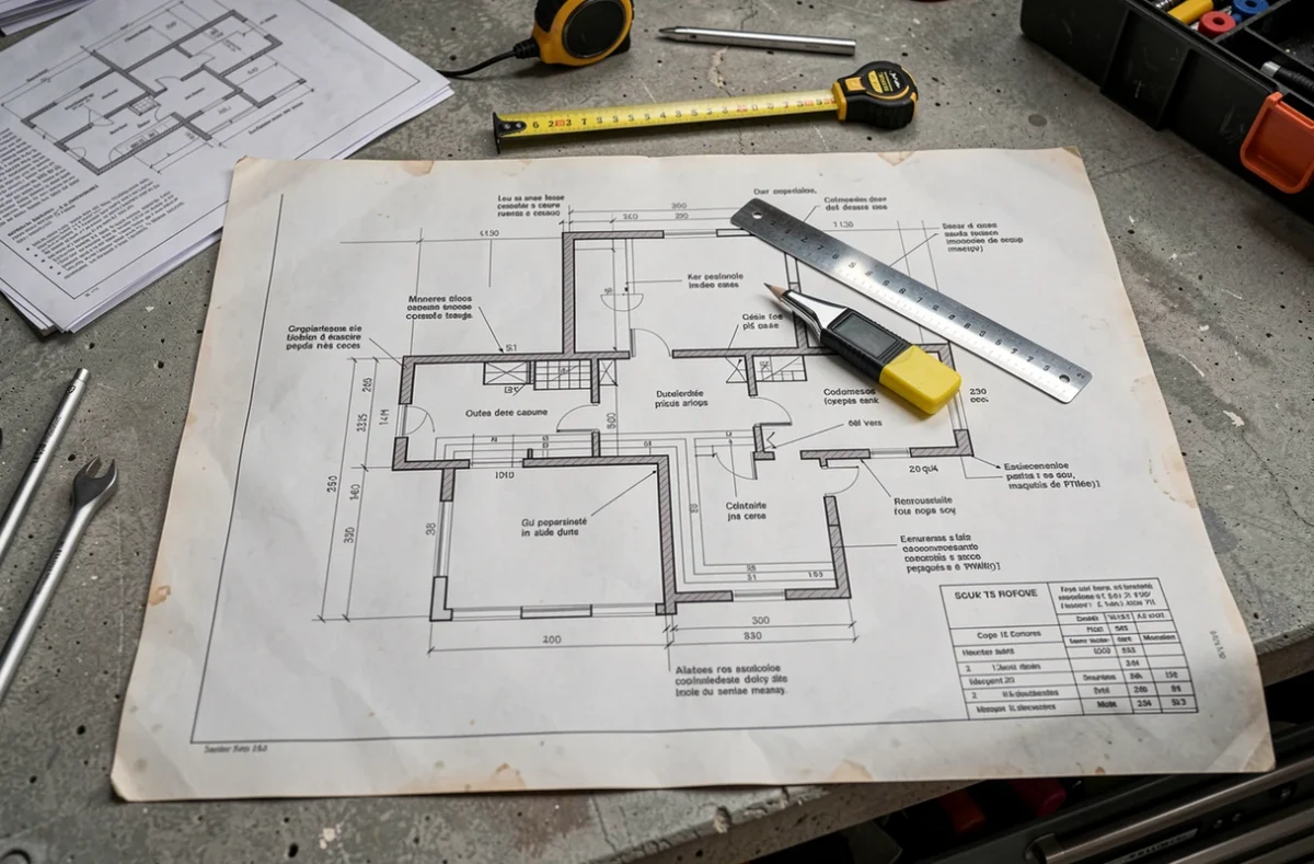
Field Survey by Camera Inspection or Ground Penetrating Radar: When the Plan No Longer Exists
In most cases, no accessible document accurately reflects the private network. The builder’s plans date from the delivery and do not account for extensions, changes in slope, or connections added by a previous owner. We regularly observe discrepancies of several meters between the original plan and the reality of the land.
Two field survey techniques then become essential:
Endoscopic Camera Inspection
A motorized camera is introduced into the pipes via an accessible chamber. It allows for visualizing the layout, the internal condition of the pipes (cracks, roots, counter slopes), and locating each junction point.
The technician locates the camera head from the surface using a transmitter-probe, allowing the layout to be reported on a detailed plan. This method is reliable for gravity networks of wastewater and stormwater, provided that the chambers are accessible and the pipes are unobstructed.
Detection by Ground Penetrating Radar
The ground penetrating radar sends electromagnetic waves into the subsoil and analyzes the echoes returned by the interfaces between materials. It detects metal, PVC, concrete pipes, as well as cavities.
Its advantage: it works without access to the inside of the network and also covers waiting ducts, empty conduits, and abandoned networks. Its limitation: accuracy depends on the nature of the soil (wet clays significantly attenuate the signal) and the depth of burial.
A surveyor or a specialized study office in network detection often combines both approaches to produce a reliable and georeferenced as-built plan.
The cost of a complete survey depends on the area of the parcel and the number of networks to be mapped. Requesting a quote from a certified provider remains the most direct approach. The obtained plan will then serve as a reference for all future work, from a simple irrigation trench to an extension of the house, and will avoid the unpleasant surprises that a poorly located network inevitably causes.